Buena Vista Overlook
- Tina McLain
- Jun 1
- 2 min read

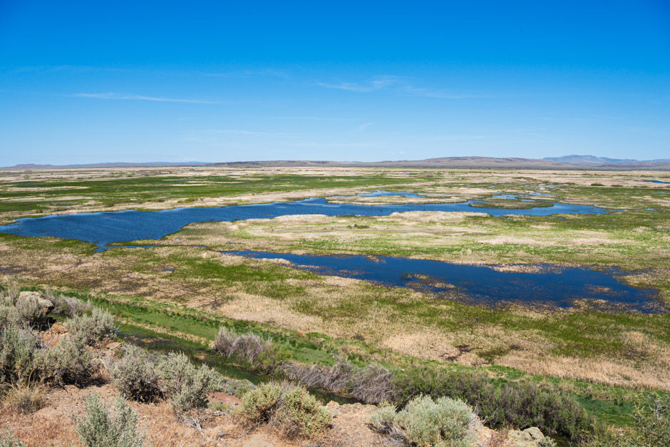
An overlook of the Blitzen Valley and Buena Vista Ponds in Malheur National Wildlife Refuge.
Overlook Name: Buena Vista Overlook
Coordinates: 43.06368, -118.86699
Elevation: 4242'
Access: Trail
Note: There is the option of driving close to the overlook or hiking from the bottom of the hill up to the overlook.
Location: In Malheur National Wildlife Refuge, Oregon, U.S.A.
Administration: U.S. Fish and Wildlife Service
Date Accessed: May 22, 2026
After having spent the morning birdwatching around Malheur National Wildlife Refuge we drove to the top of Buena Vista Overlook and did the very short walk to the overlook. It was so beautiful. The view across the wildlife refuge and of buena vista ponds below was great. We saw cliff swallows, some lizards, and some ducks below in the ponds. It was windy enough to keep the mosquitoes at bay. It was a nice little stop.
There was an option at the bottom of the hill to either hike up the hill or drive to the top of the hill and take the very short access trail to the overlook. We opted for the drive up/short trail option instead the full blown hike since we had my 80 year old grandparents with us.
Resources
Coordinates
Trailhead at bottom of hill: 43.06621, -118.87019
Restroom (at bottom of the hill): 43.06638, -118.87016
Overlook: 43.06368, -118.86699
My Wild Adventure is not responsible for your safety, any possible injury, or anything that happens if you choose to follow anything on this website. Maps are not intended to be used for navigational purposes, but to give an overview of the route taken. By going outdoors you are solely responsible to know your strengths and limitations, be aware of current conditions and proceed with the appropriate caution. My Wild Adventure is not responsible for your choices and the outcome. Reference my disclaimer for more information on being responsible outdoors.


