Fish Lake
- Tina McLain
- 1 day ago
- 2 min read

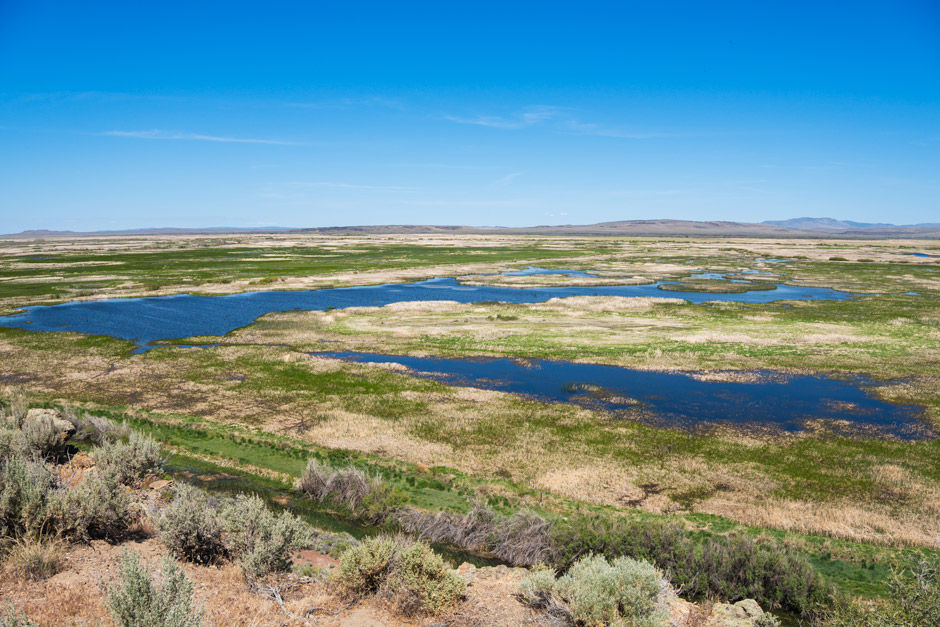
A lake along the north side of Steens Mountain Loop Road on Steens Mountain.

Lake Name: Fish Lake
Lake Coordinates: 42.73715, -118.64720
Lake Elevation: 7368'
Access: Drive up
Permits/Fees: Campground has a nightly fee
Location: Near Steens Mountain Loop Road in Harney County, Oregon, U.S.A.
Administration: Bureau of Land Management (BLM)
Date Accessed: May 23, 2026
Fish lake is another lake I’ve been to multiple times over the years and never written on before. There is a campground that runs along the lake that’s nice to stay at.

This time around we drove to the west side of the lake first, stopped in an empty campsite to take some pictures and try casting a few times before we decided to drive to the east side of the lake and try fishing from there instead. The boat launch area already had people fishing from it so we drove to the restrooms towards the southwest side of the campground loop and took a trail that ran along the south side of the lake. We stopped at an open area along the shore and fished for a while. Saw some fish that were curious but not biting. It wasn’t the best conditions or time of day to be fishing, but we enjoyed casting none the less.
Fish lake is the most popular lake on the north side of the Steens Mountain Loop Road. It has an impressive campground and according to the BLM website has "23 campsites with picnic tables and fire grates; first come, first serve."

There’s a lake across the road from Fish Lake called Pate Lake, but it is on private property so I didn't explore it. Just took a picture from the gate along the road.
Resources
Coordinates
Road entrance to lake & campground: 42.74043, -118.64371
Campground: 42.73853, -118.64319
Boat launch area: 42.73847, -118.64503
Fish Lake: 42.73715, -118.64720
Map
My Wild Adventure is not responsible for your safety, any possible injury, or anything that happens if you choose to follow anything on this website. Maps are not intended to be used for navigational purposes, but to give an overview of the route taken. By going outdoors you are solely responsible to know your strengths and limitations, be aware of current conditions and proceed with the appropriate caution. My Wild Adventure is not responsible for your choices and the outcome. Reference my disclaimer for more information on being responsible outdoors.