Panther Creek Falls - Upper Viewpoint
- Tina McLain
- Oct 20, 2025
- 3 min read
A short hike to the upper viewing area for panther creek falls along NF-65 in Gifford Pinchot National Forest.

Waterfall Name: Panther Creek Falls
Waterfall Coordinates: 45.86727, -121.82864
Waterfall Elevation: 1679'
Access: Trail
Distance: 0.29 miles (round trip)
Elevation Range: 1655' to 1831'
Ascent/Descent: +154 ft/-154 ft
Trail Type: In and out
Trail: Panther Creek Falls Trail #137
Outing Type: Day hike
Permits/Fees: None
Notes: The trailhead isn't well marked so it is easy to miss it when driving, but with maps and paying attention it is possible to find.
Location: Near NF-65 in Gifford Pinchot National Forest, Washington, U.S.A.
Administration: Gifford Pinchot National Forest
Ranger District: Mt Adams Ranger District
Date Accessed: August 15, 2025

I decided to stop and do the quick hike to the upper viewpoint for Panther Creek Falls since I was driving up NF-65 to reach another trailhead. I pulled off at the trailhead parking area which was basically just a large gravel pull-off. the trailhead was on the other side of the road and to the south a little. Someone had spray painted an arrow to the trailhead and there was a tiny post, but otherwise it would be very easy to miss.

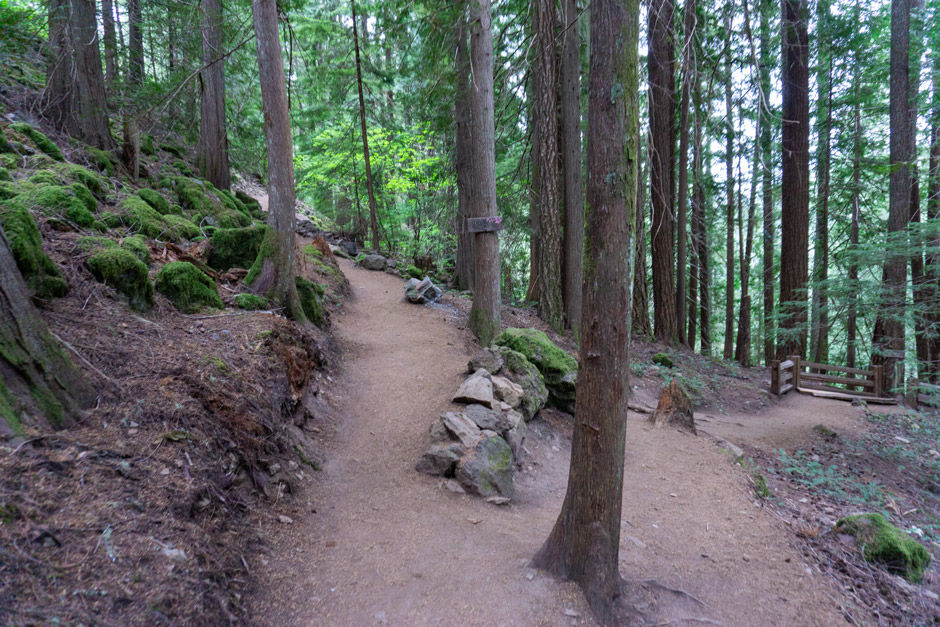
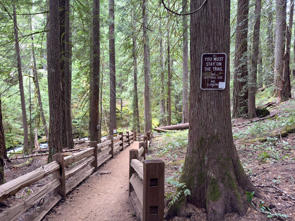
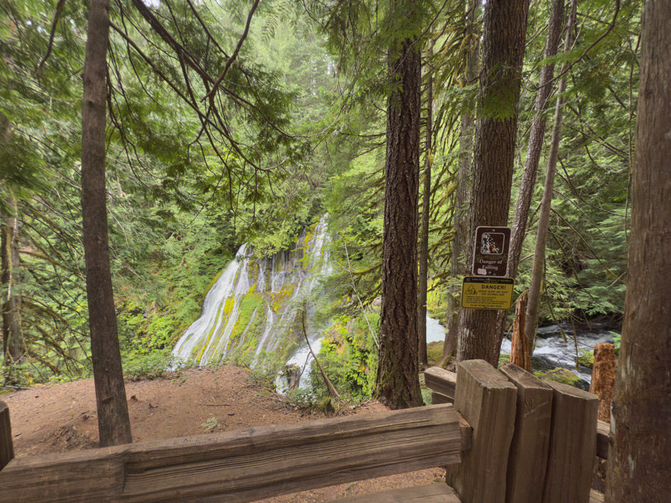
The trail was downhill and basically 1 long switchback to the upper view point area. There was a split in the trail that had a sign for the lower and upper viewpoints. The trail leading to the upper viewpoint was fenced with multiple warning signs about staying on the trail and risk of injury/death from falling. At the viewpoint there was a small memorial poster to a woman who died there in 2018.

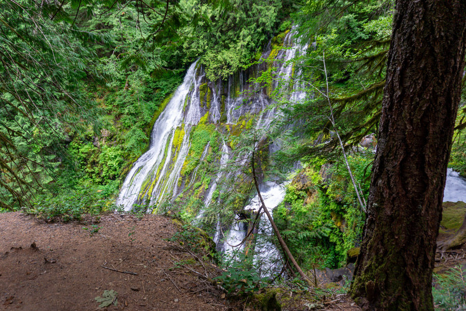
The view of the falls and creek was pretty. It was only possible to see the top part of the waterfall from the upper viewpoint, but still totally worth it in my opinion. I decided not to hike down to the lower viewpoint due to some knee issues I'd been dealing with.

The only people I was was a couple that started hiking down as I was headed back to my car. I got the view to myself which was awesome. Since I went earlier in the day and on a rainy day it seemed to really cut down the number of people at the falls.

How to get there (from Carson, WA)
Take Wind River Rd north out of Carson, WA for 4.8 miles. Turn right on Old State Rd and proceed for 500 ft. Turn left on Panther Creek Rd/NF-65 and proceed for 7.3 miles. Parking is on the right (east) side of NF-65 in a large gravel pull-off area. The trailhead is on the opposite side of the road a bit further south.
Map
My Wild Adventure is not responsible for your safety, any possible injury, or anything that happens if you choose to follow anything on this website. Maps are not intended to be used for navigational purposes, but to give an overview of the route taken. By going outdoors you are solely responsible to know your strengths and limitations, be aware of current conditions and proceed with the appropriate caution. My Wild Adventure is not responsible for your choices and the outcome. Reference my disclaimer for more information on being responsible outdoors.


